![]()
By Airwaves writer Eric Tobias
(for part 1: https://www.sail1design.com/using-weather-dominate-competition/)
(for part 2: https://www.sail1design.com/using-weather-dominate-competition-part-2-sea-breeze/)
Precipitation
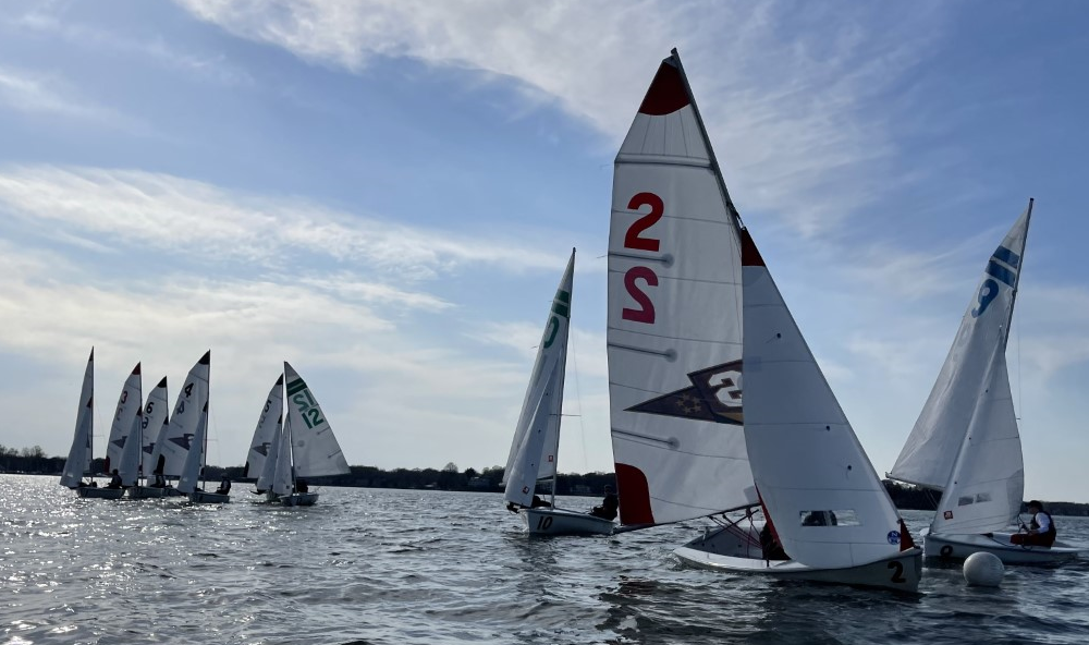
Precipitation is an important factor to consider as a sailor. Rain doesn’t only mean that we might have to change gear or be ready to get wet; it could also signal changes in wind or act as a preview of the severe weather to come. With good knowledge of exactly when the weather is coming, you can get the most sailing time out of your practice or regatta.

It really grinds my gears when people rely on precipitation percentages to assume whether it will rain or not. The percentages described are your weatherman’s attempt to communicate uncertainty usually 12 hours to a few days in advance. There’s a reason why meteorologists don’t claim it will rain for sure from 6:30 – 7:00 and won’t rain from 7:00 on, because if it rained at 7:05, people would get all wet and upset. So for a rain forecast, percentages will have to do. A 50% chance of rain represents the highest uncertainty, and if you see a 90-100% chance of rain, you can be pretty darn sure it’s going to rain. However, with a look at a surface map and a good radar app, you can get along without these percentages all together.
Radar is the single most useful tool for predicting precipitation. Every sailor should utilize weather radar. If you don’t already have a radar app on your smartphone, you need to download one immediately. Go ahead, I’ll wait. I prefer to use an app called MyRadar because it’s simple and it’s free. When I’m coaching or sailing, and some weather is on the horizon, I constantly monitor the weather radar (I have a waterproof case on my phone; every sailor needs one of these also). This way I can know precisely when the rain or storm is coming, allowing for maximum time on the water without jeopardizing safety. When you always have a radar app in your pocket, you no longer need to rely on percentages to guess about the rain.
A cold front extending from Wisconsin to Texas brings severe thunderstorms and heavy precipitation.

One tip for using weather radar is to look at the color bar scale in relation to radar reflectivity because it’s not always consistent for each website or app. Where you might see a yellow “blob” on one website, it might only be green on another. Radar reflectivity is measured in decibels (dBZ) and it basically corresponds to the intensity of the precipitation. Here’s a brief guide to dBZ numbers and the weather that may accompany them: For 25 dBZ and under (normally green), it means mist to light rain. From 30-40 dBZ (normally dark green or yellow) means moderate rain. From 45-55 dBZ means heavy rain or light hail (normally red or dark red). From 60 dBZ and up (normally very dark red to pink to white), you better get the sails down and watch out, because that’s a severe storm producing extreme rain or large hail.

Summary
A lot more variables go into weather forecasting than the ones I’ve included here, and they extend up through multiple levels of the atmosphere. I’ve provided a guide and some tips that are more applicable to sailors, and hopefully you can use some these tools to dominate your competition at your next regatta. Now that you know about surface maps, fronts, sea breezes, and radar, here’s a step-by-step process of what I do for a day of racing on the water:
Step 1: Night before racing. Take a look at the surface analysis map for the following day. A good resource for this is the NWS Weather Prediction Center website at http://www.hpc.ncep.noaa.gov/index.shtml . Here’s a loop of the surface analysis 7-day forecast: http://www.hpc.ncep.noaa.gov/basicwx/day0-7loop.html
Step 2: Looking at the surface forecast, determine if any fronts are going to pass through the sailing venue that could potentially bring wind shifts or severe weather. We now know what to expect with wind and weather when a front passes through.
Step 3: Decide if a strong pressure gradient is going to bring big, predictable breeze or if a high pressure system and weak pressure gradient will lead to more fluky conditions. If weaker, be ready to take into account the local tendencies of the wind.
Step 4: Verify wind forecasts by using multiple websites/sources. I like to use http://windalert.com/ and http://www.wunderground.com/ . If the sources don’t match up, take them with a grain of salt.
Step 5: Day of regatta. Check the radar (I use MyRadar on my smartphone) to see if anything is coming and determine what gear to bring out on the water.
Step 6: If you’re sailing near a coast, compare the water temperature to the forecasted temperature on land to note if sea breeze is going to be a factor that day.
Step 7: Shamelessly ask the local sailors if there are any local shifts or favored sides to be aware of. There’s no substitute for local knowledge.

As previously mentioned, there are no absolute weather certainties in our chaotic atmosphere. Weather forecasts are limited in their ability to be perfect. Also, there’s no replacement for the local knowledge of how the “wind always bends a certain way around that point” or “if it’s from the southeast, you never want to go to the left side of the course.” Now with your new knowledge of weather, you can utilize the forecast to your maximum advantage and be the first boat out there to catch that favorable new shift. Sail fast.

[…] For Part 3, go here: https://www.sail1design.com/using-weather-dominate-competition-part-3-precipitation/ […]